NNSW - Jan 07 |
 |
| TITLE |
+ |
- |
| FILE NAME |
+ |
- |
| DATE |
+ |
- |
| POSITION |
+ |
- |
|
|
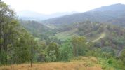
View of Spiral Loop from lookout off Lions Road106 views
|
|
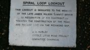
Plaque on Cairn at Spiral Loop Lookout - Lions Road88 views
|
|
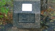
Cairn at Spiral Loop Lookout near Richmand Gap on Lions Road91 views
|
|

Walk to Falls off Gwydir Highway79 views
|
|

Falls off Gwydir Highway84 views
|
|
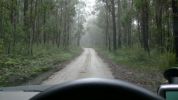
Road to Mulligan's Hut - off Bruxner Highway104 viewsLight drizzle but no heavy rain.
|
|
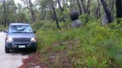
Balancing Rock beside track to Mulligan's Hut off Gywdir Highway111 views
|
|

Mulligan's Hut Track - Platypus Pool on road to hut.94 views
|
|
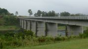
Jackadgery - Bridge over Mann River from rest area.93 views
|
|
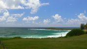
Yamba - Main Beach94 views
|
|
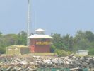
Test - long telephoto shot from motel at Yamba across the Clarence River to Illuka SLS building.96 views
|
|
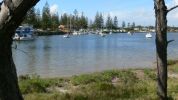
Yamba - view of safe harbour and town from near caravan park96 views
|
|
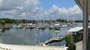
Yamba - Marina from slipway and marina administration building.96 views
|
|
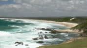
Broom's Head96 viewsBroom's Head is a delightful surf and still water area south of Yamba on the noth coast of New South wales.
In this photo looking south a pod of dolphins were playing in the first line of breakers.
|
|
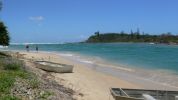
Sandon - Northern side of Sandon River looking towards Sandon Bluff from camp grounds south of Broom's Head95 views
|
|
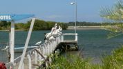
Yamba - Pelicans at motel jetty103 views
|
|
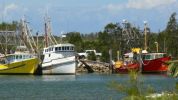
Yamba - Trawlers near Yamba Marina102 views
|
|

Iluka - view up the Clarence River from adjacent to SLS building108 views
|
|
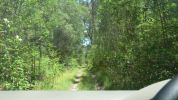
Pine Road107 viewsForestry track but generally good condition. Later discovered Forestry had closed the track. Had to seek alternate access.
|
|
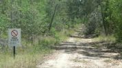
Pine Road - Road closed sign108 viewsForestry track/road (11 km north of Iluka turnoff along Pacific Highway) but blocked about 3 km along. Took Thompsons Road to rejoin highway but had to negotiate a swampy area with fallen trees across track. Road impassible without chainsaw so found a private road and headed towards Glencoe Road using a Telstra track.
|
|
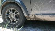
Near Pyrocarpa Flora Reserve114 viewsReally must consider some front mud flaps if I am going to be subjecting her to these sort of roads.
|
|
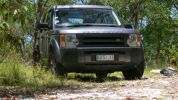
Turn around area near Pyrocarpa Flora Reserve118 viewsApproximately 29ºS, 153.21ºE (did not observe the Eucalyptus pyrocarpa flowering though).
|
|
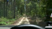
Access road to Pyrocarpa Flora Reserve120 viewsGenerally well formed road - a mixture of decomposed granite and sand in places. Evidence that it is used heavily used by trail bikes but we did not observe any that day.
|
|
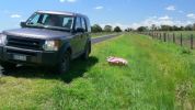
South of Coraki128 viewsPatch of flowers observed on side of road. Don't know whether they were planted or came up naturally. No other patches visible along either side of the road.
|
|
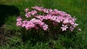
Coraki - flowers on side of road south of Coraki123 viewsJust one small patch of them and no others within sight.
|
|
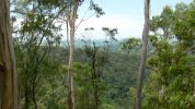
Minyon Grass - view towards south106 views
|
|

Minyon Falls - Nightcap NP111 viewsWest of Byron Bay (approx 28º27'S, 153º23'E) in the Nightcap National Park. Rocky Creek Dam is in the next valley west and supplies water to much of NE NSW.
|
|
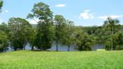
Rocky Creek Dam124 viewsOne of two dams that supply most of NE NSW with water.
|
|
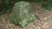
Big Scrub Flora Reserve Cairn118 views
|
|
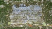
Plaque near Rocky Creek Dam129 viewsPlaque honouring Big Scrub Flora Reserve. A few kilometres along on Gibbergunyah Range Road that goes up to headwaters of creeks flowing into Rocky Creek Dam.
This reserve was part of one of the largest single tracts of rainforest in Australia.
|
|

Ballina Motel Adornment114 viewsDidn't quite know what to make of this bit of ornament in motel at Ballina. However we were glad to listen to very heavy rain - shame I didn't want to take the car out from under cover to wash off the mud from the last week of 4WDing.
|
|
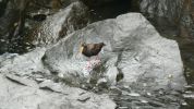
Unknown bird at sand pumping station near mouth of the Tweed River124 viewsNoisy little bugger who remained under walkway but eventually came out and then flew away flying low over water towards Tweed Heads.
|
|
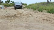
Fingal Road - Northern end187 viewsOnly sand driving we did was on this well packed and still damp sand leading to the sand pumping station (used for erosion control). Didn't even need to select Sand mode from the terrain tamer although I did put it in Extended Mode just in case.
|
|
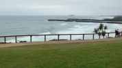
From Point Danger looking to the Sand Pumping Station in NSW143 viewsDuranbah Beach beside the Tweed River entrance.
|
|
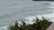
Point Danger - Looking towards Duranbah and NSW144 viewsNot a great swell but definately the most board riders I have seen there for a while. A dangerous beach, but great for board riders, adjacent to the Tweed River entrance.
|
|
|
|
|